
Datasets:

license: cc-by-4.0
pretty_name: Single Tree High-Density Photogrammetry Dataset
task_categories:
  - image-to-3d
  - depth-estimation
tags:
  - photogrammetry
  - 3d-reconstruction
  - structure-from-motion
  - gaussian-splatting
  - point-cloud
  - drone
  - uav
  - aerial-imagery
  - vegetation
  - forestry
size_categories:
  - n<1K
Single Tree — High-Density Photogrammetry Dataset
812 full-resolution photographs (14.1 GB) of one mature deciduous tree, captured from ground level to above the canopy. 807 of 812 images align. Released under CC BY 4.0 — free for commercial, academic and ML use with attribution.
🏆 Winner — RealityCapture #RCmonthlyChallenge, August 2020
This reconstruction and its companion Chicago city scan were both named winners of Capturing Reality's monthly challenge, announced by RealityScan — the makers of RealityCapture — on 17 September 2020 in Winners of AUGUST #RCmonthlyChallenge ▶.
The video description credits the win as "@Matt1up — Tree and Chicago city", and the tree model appears in the reel under a
created by: @Matt1uptitle card.

Why this exists
Vegetation is the hardest subject in photogrammetry. Thin branches, self-similar texture, leaves that move between frames, and a canopy that occludes its own trunk — a tree breaks assumptions that buildings never test.
Most published photogrammetry datasets are buildings, statues or turntable objects precisely because those are easy. This one is deliberately the hard case: a single tree, covered densely enough to actually solve, with the low-altitude trunk passes that most aerial captures skip.
If you are benchmarking a matcher, a Gaussian splatting pipeline, or a mesh reconstructor, this is the set that will tell you where it breaks.
The reconstruction
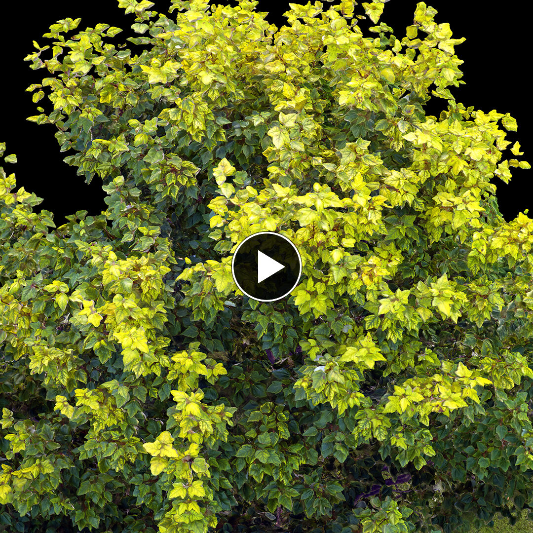
Finished reconstruction — click to watch on Vimeo
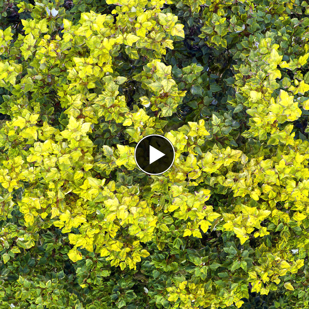
Capture and processing — click to watch on Vimeo
Full project write-up: mattguertin.com/portfolio/tree
 |
 |
 |
What's in the dataset
| Images | 812 JPEG · 14.06 GB |
| Alignment | 807 / 812 images solve |
| Sensor | Hasselblad L1D-20c — 1" 20 MP CMOS (DJI Mavic 2 Pro) |
| Resolution | 5464 × 3640 |
| Lens | 10.3 mm — 28 mm full-frame equivalent, f/2.8 |
| Geotagging | GPS latitude / longitude / altitude in EXIF, all 812 images |
| Location | Minnetonka, MN — 44.944 N, −93.426 W |
| Captured | 18 and 20 July 2020 |
Capture tiers
The set is two sessions, two days apart, covering different heights. The low and mid tiers are the valuable, unusual part — they are hover passes at knee and chest height with the camera angled upward, capturing the trunk, root flare and canopy underside that a conventional descending orbit never sees.
| group | images | date | height above takeoff | gimbal | covers |
|---|---|---|---|---|---|
Original_low |
85 | 2020-07-18 | +0.5 m | +6.2° (up) | trunk, root flare, canopy underside |
Original_mid |
68 | 2020-07-18 | +1.7 m | +2.3° (up) | lower canopy, branch structure |
The_Tree |
659 | 2020-07-20 | orbit to above canopy | varies | full crown and outer canopy |
| total | 812 |
The capture rig

Photography flown with a DJI Mavic 2 Pro (Hasselblad L1D-20c), developed from DNG in Lightroom Classic 9.3 with consistent settings across the set.
A FARO Focus S150 terrestrial laser scanner was also on site, visible above. Its data is not part of this release — this dataset is the 812 photographs only. The scanner is shown because it is part of the honest record of how the subject was captured, not because point clouds are included.
Download
Images are hosted off GitHub — this repository holds documentation, manifests and checksums. See docs/download.md for mirrors and resumable download instructions.
# sample pack first (~420 MB) — evaluate before committing to 14 GB
./scripts/download.sh --sample

# full image set
./scripts/download.sh --full

# just the low-altitude trunk tiers (153 images)
./scripts/download.sh --group Original_low --group Original_mid
Every file is checksummed. After downloading:
./scripts/verify.sh
Reproducing the reconstruction
See docs/reproduce.md for alignment settings. Aligns in RealityCapture / RealityScan, Agisoft Metashape, COLMAP and Meshroom. Images carry GPS, so georeferencing works without ground control.
Expect ~807/812. A handful of frames genuinely do not solve — that is the honest result on this subject, not a processing failure to debug away.
Known characteristics
Read these before you file a bug — they are properties of the capture, not defects in the upload.
- Wind moved the subject. Two sessions two days apart, outdoors, on a tree. Leaves and thin branches are not in identical positions between frames. This is inherent to the subject and is a large part of why the dataset is interesting.
- The 153 low/mid images had their metadata repaired. These were exported through RealityCapture, which stripped all EXIF. The original camera metadata — make, model, GPS, timestamp, exposure — was grafted back on from the untouched 16-bit source files. Pixel data is byte-identical to the export; only the metadata block was rewritten. Verified: decoded-RGB checksums match before and after.
- Filenames were normalised. Those same 153 files carried a RealityCapture double extension
(
Original_low-10.png.geometry.jpg). Renamed toOriginal_low-10.jpg. Content untouched. - 16-bit originals exist for 153 images. The low and mid tiers have 16-bit lossless PNG masters (~100 MB each, 15 GB total). They are not in this release because 8-bit is what every photogrammetry pipeline actually consumes, and they would double the download for no alignment benefit. Open an issue if you have a use for them.
- These are Lightroom exports, not raw. Raw DNGs are not part of this release.
Licence

Released under Creative Commons Attribution 4.0 International. You may use this commercially, and you may train models on it. You must give credit.
Single Tree Photogrammetry Dataset — Matthew Guertin, 2020.
Licensed CC BY 4.0. https://github.com/Matt1Up/tree-photogrammetry-dataset
See CITATION.cff for BibTeX and academic citation formats.
Related
- Chicago / Grant Park dataset — 2,751 aerial images and 43 laser stations over downtown Chicago. The large-area counterpart to this controlled single-subject set.
- mattguertin.com — portfolio and other work.
Captured, processed and released by Matthew Guertin. If you build something with this, I would genuinely like to see it — open an issue.